Streets & squares
Downpatrick and County Down Railway
Heritage Railway in Northern Ireland, United Kingdom
Northern Ireland · 54.3260, -5.7220
Market Street, DOWNPATRICK, County Down, BT30 6LZ
Downpatrick and County Down Railway is named as a filming location in the Wikipedia article of 1 production, in the section each entry below links back to. No Wikidata filming statement points here yet, so this page says plainly which kind of evidence it rests on.


Filmed here, per Wikipedia
Productions whose English Wikipedia article names Downpatrick and County Down Railway as somewhere it was shot, with no matching statement on Wikidata. Weaker evidence than a Wikidata statement, and labelled as what it is, each production’s own page links the exact section the claim comes from.
Filming locations nearby
-
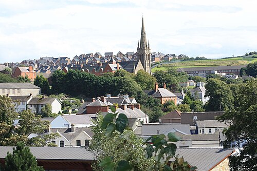
Towns & cities
Downpatrick
Northern Ireland·1 km east
town in County Down, Northern Ireland, UK
-

Towns & cities
Coney Island
Northern Ireland·10 km south-east
human settlement in Northern Ireland
-

Castles & palaces
Castle Ward
Northern Ireland·10 km north-east
country house in Northern Ireland
-

Towns & cities
Strangford
Northern Ireland·12 km north-east
village in County Down, Northern Ireland, United Kingdom
-

Towns & cities
Ballynahinch
Northern Ireland·12 km north-west
town in County Down, Northern Ireland
-

Towns & cities
Portaferry
Northern Ireland·13 km north-east
town in County Down, Northern Ireland, UK
Frequently asked questions
What was filmed at Downpatrick and County Down Railway?
1 production is recorded as filmed at Downpatrick and County Down Railway, including Derry Girls (2018–). 1 of the credits come from Wikipedia articles rather than Wikidata statements and are labelled per Wikipedia.
Where is Downpatrick and County Down Railway?
Downpatrick and County Down Railway is in the United Kingdom, at Market Street, DOWNPATRICK, County Down, BT30 6LZ. Its coordinates are 54.3260, -5.7220.
What other filming locations are near Downpatrick and County Down Railway?
Downpatrick (1 km east), Coney Island (10 km south-east), Castle Ward (10 km north-east), Strangford (12 km north-east) and 2 more, all within 40 km and listed on this page with photographs.
Where does this information come from?
Filming location statements on Wikidata, joined to the place's coordinates and Wikipedia article, plus places named in Wikipedia articles, which are labelled per Wikipedia wherever they appear. The photograph is from Wikimedia Commons, by None provided, CC BY-SA 4.0.