Landscapes & nature
Loch Tay
lake in Perth and Kinross, and Stirling, Scotland, UK, outflows east to River Tay
United Kingdom · 56.5156, -4.1461
Loch Tay is named as a filming location in the Wikipedia article of 1 production — in the section each entry below links back to. No Wikidata filming statement points here yet, so this page says plainly which kind of evidence it rests on.


Filmed here, per Wikipedia
Productions whose English Wikipedia article names Loch Tay as somewhere it was shot, with no matching statement on Wikidata. Weaker evidence than a Wikidata statement, and labelled as what it is — each production’s own page links the exact section the claim comes from.
Set here, per Wikipedia
Games whose English Wikipedia article says they are set in Loch Tay, where Wikidata’s narrative-location statement stops at the country. Still a setting and not a shoot, and still a sentence rather than a statement — two steps from the strongest evidence on this atlas, and labelled at both.
Filming locations nearby
-
Towns & cities
Tomnadashan
United Kingdom·1 km east
former mine in Scotland
-
Landmarks & buildings
Tomnadashan Mine
United Kingdom·1 km east
copper mine in Perthshire, Scotland
-

Towns & cities
Killin
United Kingdom·12 km south-west
village in Stirling, Scotland, UK
-

Landscapes & nature
Falls of Dochart
United Kingdom·12 km south-west
waterfall in Perthshire, Scotland, UK
-

Towns & cities
Kinloch Rannoch
United Kingdom·21 km north
village in Perth and Kinross, Scotland, UK
-

Landscapes & nature
Loch Rannoch
United Kingdom·21 km north-west
lake in Perth and Kinross, Scotland, UK, outflows to the River Tummel
Frequently asked questions
What was filmed at Loch Tay?
1 production is recorded as filmed at Loch Tay, including Monty Python and the Holy Grail (1975). 1 of the credits come from Wikipedia articles rather than Wikidata statements and are labelled per Wikipedia.
Where is Loch Tay?
Loch Tay is in the United Kingdom. Its coordinates are 56.5156, -4.1461.
What other filming locations are near Loch Tay?
Tomnadashan (1 km east), Tomnadashan Mine (1 km east), Killin (12 km south-west), Falls of Dochart (12 km south-west) and 2 more — all within 40 km and listed on this page with photographs.
Where does this information come from?
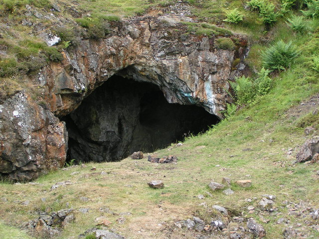
Filming location statements on Wikidata, joined to the place's coordinates and Wikipedia article, plus places named in Wikipedia articles, which are labelled per Wikipedia wherever they appear. The photograph is from Wikimedia Commons, by Paul Hermans, CC BY-SA 3.0.