Towns & cities
Marysville
city and county seat in Yuba County, California, United States
United States · 39.1458, -121.5914
Marysville is named as a filming location in the Wikipedia articles of 3 productions, in the section each entry below links back to. No Wikidata filming statement points here yet, so this page says plainly which kind of evidence it rests on.

Filmed here, per Wikipedia
Productions whose English Wikipedia article names Marysville as somewhere it was shot, with no matching statement on Wikidata. Weaker evidence than a Wikidata statement, and labelled as what it is, each production’s own page links the exact section the claim comes from.
Filming locations nearby
-
Towns & cities
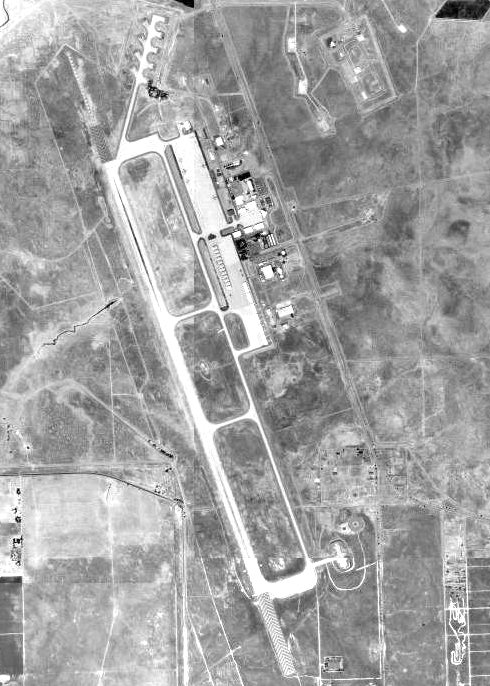
Beale Air Force Base
United States·13 km east
United States Air Force base near Marysville, California, USA
-

Landscapes & nature
Sacramento Valley
United States·18 km south-east
northern part of the Central Valley in California, United States
-
Towns & cities
Nicolaus
United States·28 km south
census-designated place in Sutter County, California
-

Towns & cities
Colusa
United States·37 km west
city in and seat of Colusa County, California, United States
Frequently asked questions
What was filmed in Marysville?
3 productions are recorded as filmed in Marysville, including The War Lord (1965), A Gathering of Eagles (1963) and The Well (1951). 3 of the credits come from Wikipedia articles rather than Wikidata statements and are labelled per Wikipedia.
Which is the best known production filmed in Marysville?
The War Lord (1965), covered by 16 Wikipedia language editions, which is how this atlas ranks fame.
Where is Marysville?
Marysville is in the United States. Its coordinates are 39.1458, -121.5914.
What other filming locations are near Marysville?
Beale Air Force Base (13 km east), Sacramento Valley (18 km south-east), Nicolaus (28 km south) and Colusa (37 km west), all within 40 km and listed on this page with photographs.
Where does this information come from?
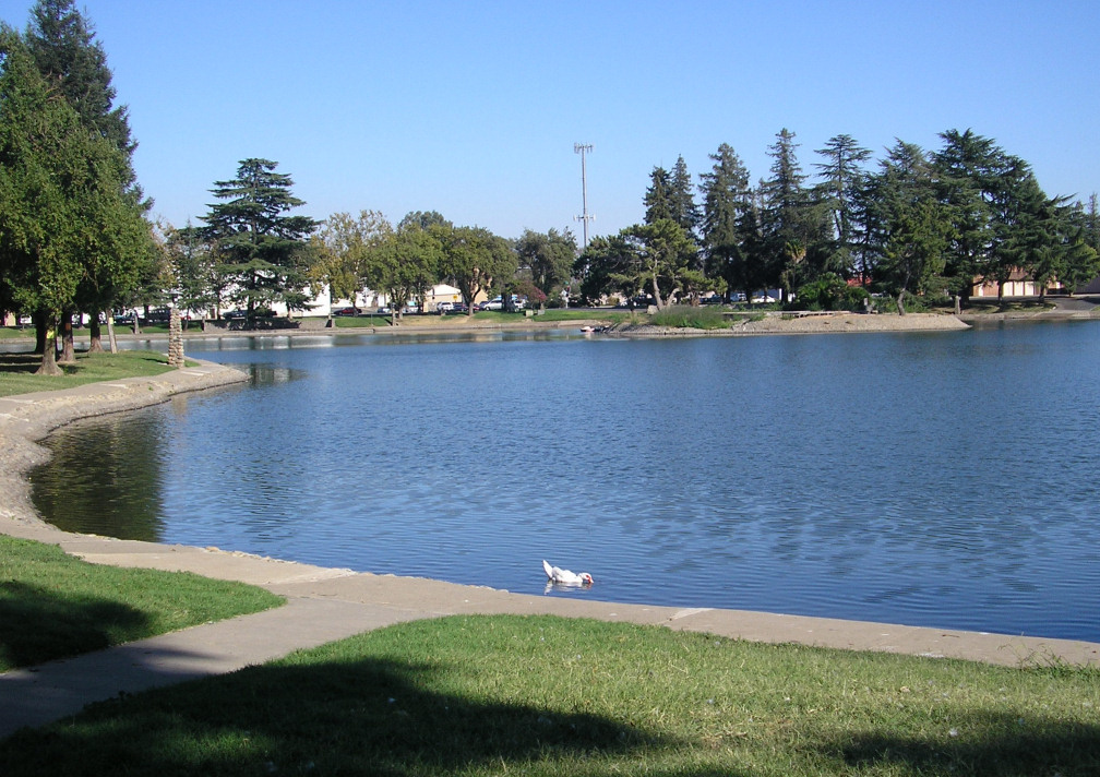
Filming location statements on Wikidata, joined to the place's coordinates and Wikipedia article, plus places named in Wikipedia articles, which are labelled per Wikipedia wherever they appear. The photograph is from Wikimedia Commons, by Mchavez at English Wikipedia, Public domain.