Landmarks & buildings
Ōshima High School
high school in Tokyo
Japan · 34.7655, 139.3600
東京都大島町元町字八重の水127
Ōshima High School is a real place Draw This, Then Die! was drawn from, named as a model for the setting in its Japanese Wikipedia article. Nothing was filmed here and no story happens here.
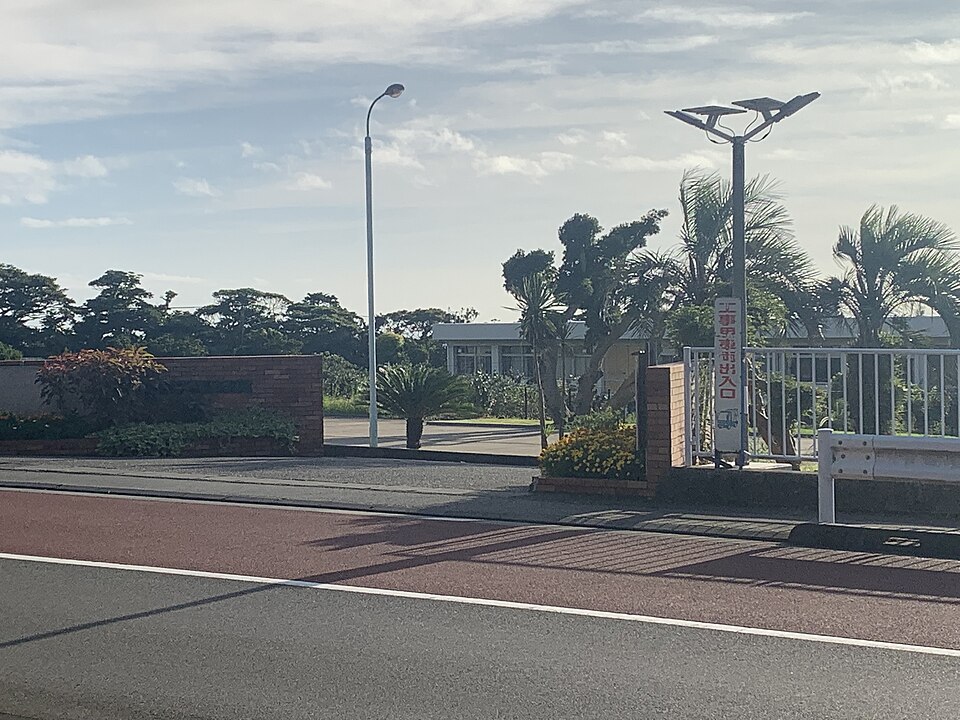

Drawn from this place
Manga whose Japanese Wikipedia article names Ōshima High School as a real place their setting was modelled on. Nothing was filmed here and no story happens here: somebody drew it from here. That is the weakest claim this atlas makes about a place, which is why it sits under its own heading, and each production’s page links the article the claim came from.
Filming locations nearby
-
Landscapes & nature
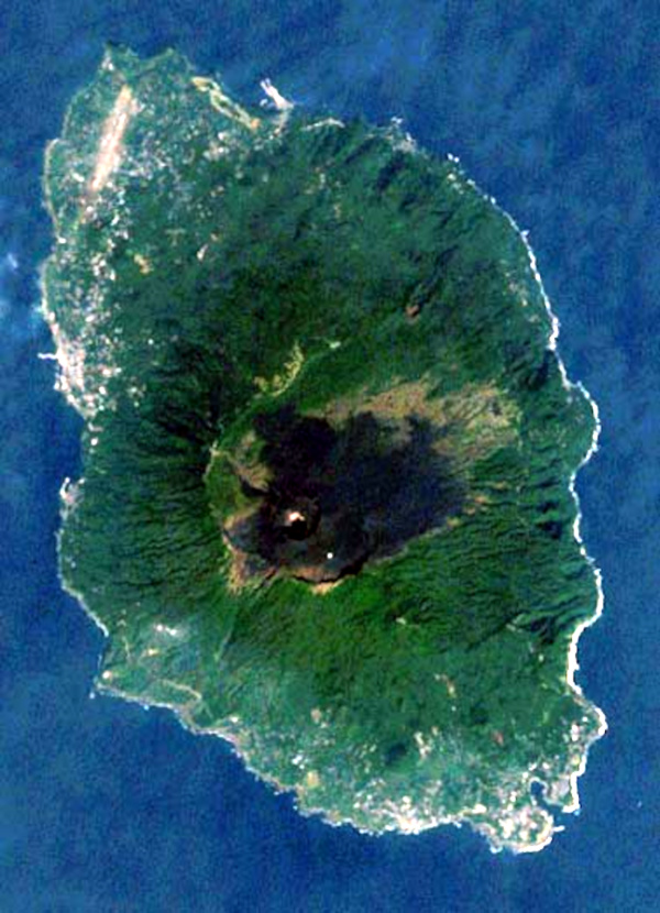
Izu Ōshima
Japan·5 km south-east
island in Tokyo, Japan
-

Landscapes & nature
Mount Mihara
Japan·6 km south-east
mountain in Tokyo, Japan
-

Landscapes & nature
Fuji-Hakone-Izu National Park
Japan·35 km west
national park of Japan
-

Towns & cities
Shimoda
Japan·39 km west
city in Shizuoka prefecture, Japan
Frequently asked questions
Where is Ōshima High School?
Ōshima High School is in Japan, at 東京都大島町元町字八重の水127. Its coordinates are 34.7655, 139.3600.
What other filming locations are near Ōshima High School?
Izu Ōshima (5 km south-east), Mount Mihara (6 km south-east), Fuji-Hakone-Izu National Park (35 km west) and Shimoda (39 km west), all within 40 km and listed on this page with photographs.
Where does this information come from?
Filming location statements on Wikidata, joined to the place's coordinates and Wikipedia article. The photograph is from Wikimedia Commons, by スロッさん, CC BY-SA 4.0.