Landscapes & nature
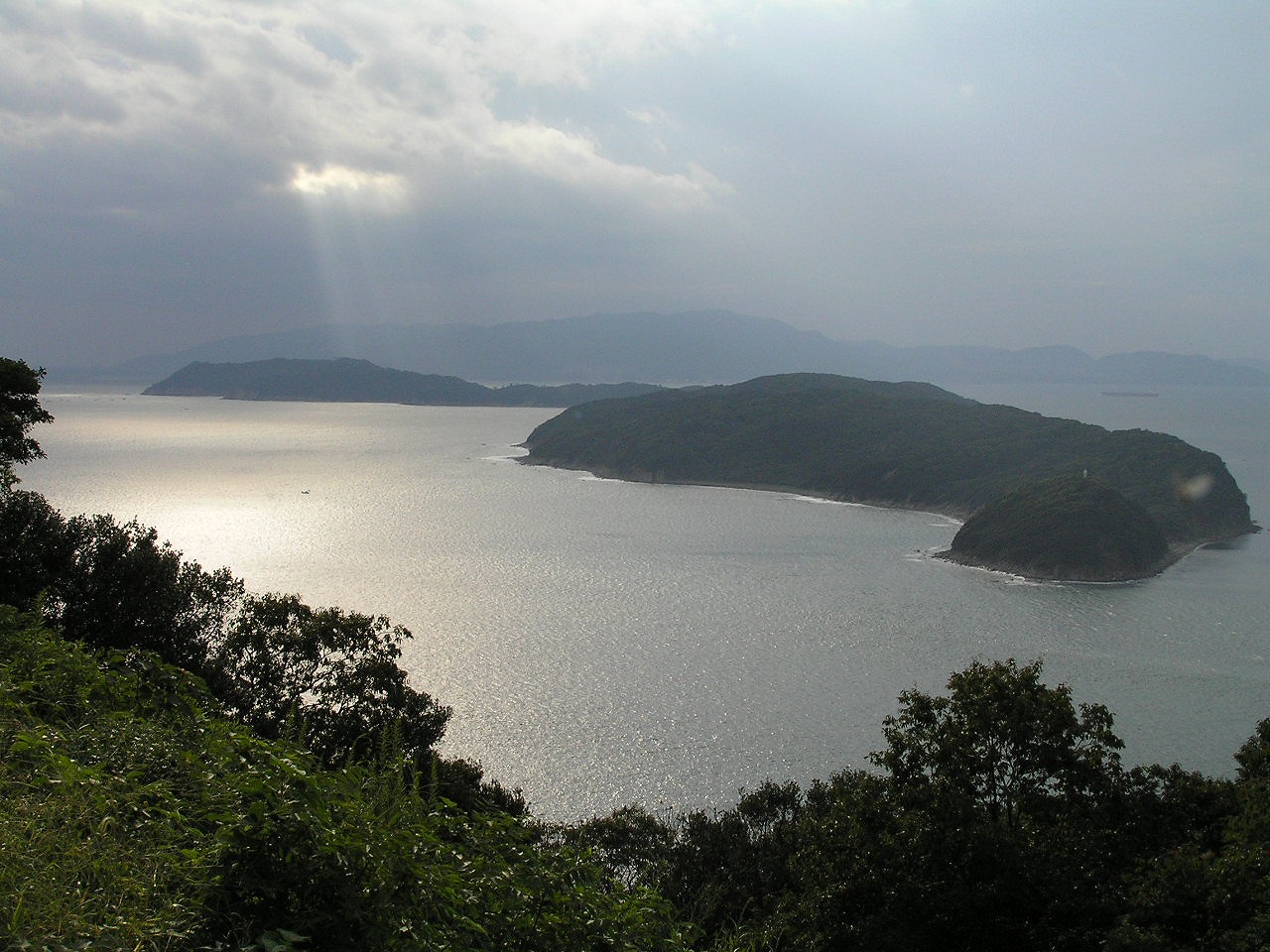
Tomogashima
island group in Wakayama, Japan
Japan · 34.2947, 135.0236
Tomogashima is a real place Summer Time Rendering was drawn from, named as a model for the setting in its Japanese Wikipedia article. Nothing was filmed here and no story happens here.

Drawn from this place
Manga whose Japanese Wikipedia article names Tomogashima as a real place their setting was modelled on. Nothing was filmed here and no story happens here: somebody drew it from here. That is the weakest claim this atlas makes about a place, which is why it sits under its own heading, and each production’s page links the article the claim came from.
Filming locations nearby
-
Landscapes & nature
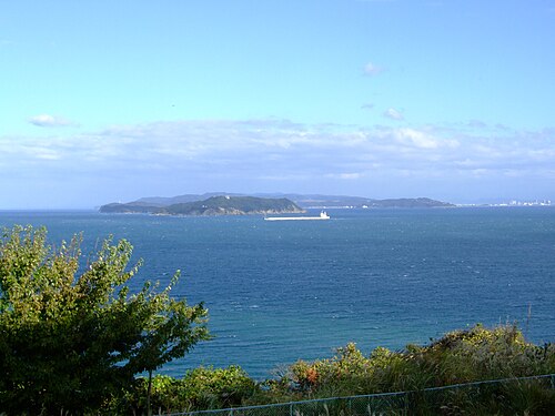
Kitan Strait
Japan·2 km south-west
strait between Awaji and Honshu islands, Japan
-

Towns & cities
Wakayama
Japan·15 km south-east
capital city of Wakayama Prefecture, Japan
-

Landmarks & buildings
開智中学校・高等学校
Japan·18 km east
-

Landscapes & nature
Porto Europa
Japan·21 km south-east
-

Landscapes & nature
Kansai International Airport
Japan·24 km north-east
airport serving Kobe, Osaka, and Kyoto, Japan
-

Landmarks & buildings
Awaji Yumebutai International Conference Center
Japan·29 km north
Frequently asked questions
Where is Tomogashima?
Tomogashima is in Japan. Its coordinates are 34.2947, 135.0236.
What other filming locations are near Tomogashima?
Kitan Strait (2 km south-west), Wakayama (15 km south-east), 開智中学校・高等学校 (18 km east), Porto Europa (21 km south-east) and 2 more, all within 40 km and listed on this page with photographs.
Where does this information come from?
Filming location statements on Wikidata, joined to the place's coordinates and Wikipedia article. The photograph is from Wikimedia Commons, by 秋空から蛇が降ってきた, Public domain.