Landscapes & nature
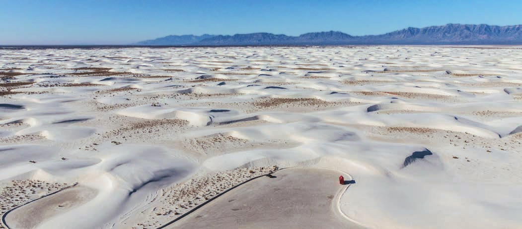
White Sands National Park
national park in Otero and Doña Ana counties in New Mexico, United States
United States · 32.7797, -106.1717
White Sands National Park is named as a filming location in the Wikipedia articles of 11 productions, in the section each entry below links back to. No Wikidata filming statement points here yet, so this page says plainly which kind of evidence it rests on.

Filmed here, per Wikipedia
Productions whose English Wikipedia article names White Sands National Park as somewhere it was shot, with no matching statement on Wikidata. Weaker evidence than a Wikidata statement, and labelled as what it is, each production’s own page links the exact section the claim comes from.
Named here by White Sands National Park’s own Wikipedia article
Productions this page’s own Wikipedia article says were shot at White Sands National Park, where neither Wikidata nor the production’s own article records it. That is the weakest evidence on this atlas, so these get no pin on the map and stay out of the downloads — the sentence is quoted in full below each one so you can judge it.
-
Hang 'Em High 1968
“While White Sands was a national monument it was used as a filming location for scenes in several westerns including Four Faces West (1948), Hang 'Em High (1968), The Hired Hand (1971), My Name Is Nobody (1973), Bite the Bullet (1975), and Young Guns II (1990).” Wikipedia
Filming locations nearby
-
Landmarks & buildings
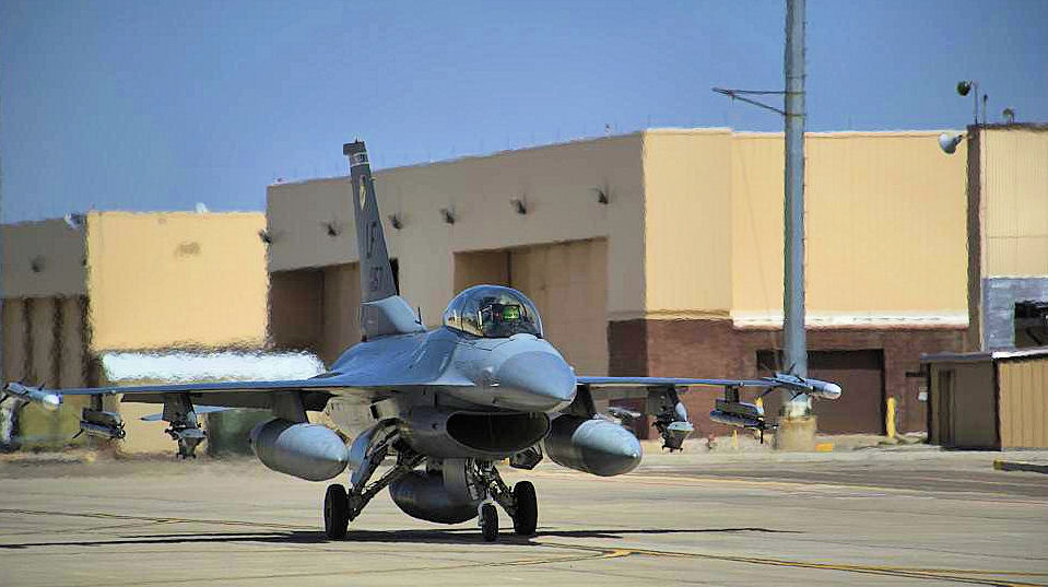
Holloman Air Force Base
United States·10 km north-east
US Air Force base near Alamogordo, New Mexico, United States
-
Landscapes & nature
Tularosa basin gypsum dunes
United States·15 km west
dunefield of white sand in southern New Mexico
-

Towns & cities
Alamogordo
United States·26 km north-east
city in Otero County, New Mexico, United States
-

Landscapes & nature
Sacramento Mountains
United States·35 km east
mountain range
-

Towns & cities
Tularosa
United States·36 km north-east
town in Otero County, New Mexico, United States
Frequently asked questions
What was filmed at White Sands National Park?
11 productions are recorded as filmed at White Sands National Park, including Jarhead (2005), Young Guns II (1990) and 12 Strong (2018). 11 of the credits come from Wikipedia articles rather than Wikidata statements and are labelled per Wikipedia.
Which is the best known production filmed at White Sands National Park?
Jarhead (2005), covered by 36 Wikipedia language editions, which is how this atlas ranks fame.
Where is White Sands National Park?
White Sands National Park is in the United States. Its coordinates are 32.7797, -106.1717.
What other filming locations are near White Sands National Park?
Holloman Air Force Base (10 km north-east), Tularosa basin gypsum dunes (15 km west), Alamogordo (26 km north-east), Sacramento Mountains (35 km east) and 1 more, all within 40 km and listed on this page with photographs.
Where does this information come from?
Filming location statements on Wikidata, joined to the place's coordinates and Wikipedia article, plus places named in Wikipedia articles, which are labelled per Wikipedia wherever they appear. The photograph is from Wikimedia Commons, by uncredited NPS employee, Public domain.